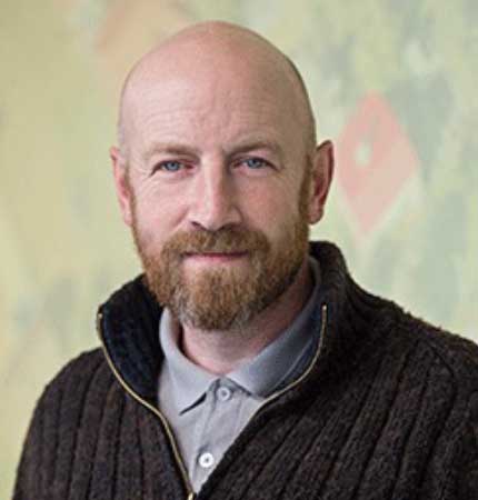
Dr Niall Burnside

Senior Lecturer in Biogeography and Geoinformatics
I have a background in spatial ecology and the application of GIS and Remote Sensing and a keen interest in addressing landscape-scale ecological issues.
I specialise in the application of geoinformatics and remote sensing for marine, landscape and habitat conservation and management. I have 4 years of practical conservation management experience and over 25 years of research and consultancy experience in a wide range of ecological and biogeographical studies. I have extensive habitat and field survey knowledge, in particular Remotely Operated Vehicles (ROVs), small Uncrewed Aircraft Systems (sUAS), dGPS surveys, LiDAR and Multibeam data. I hold full Civil Aviation Authority Permission for Aerial Work (Fixed-wing and Multi-rotor).
Much of my recent work focuses on the use of RGB, multi-spectral, hyperspectral remote sensing data and Structure-from-Motion developing the science and approaches to monitor threatened coastal systems and help with biodiversity restoration and management.