West Coast of Scotland Coastal Ocean Modelling System (WeStCOMS) consist of coupled ocean ( FVCOM) and meteorological (WRF) models. It is run by group led by Dr Dmitry Aleynik at High Performance Computing cluster in Scottish Association for Marine Science (SAMS)
Weather Research Forecasting (WRF) model is the next generation mesoscale numerical prediction system designed at 3 nested domains with the highest resolution (2km) to cower Scottish mainland and Hebrides region and provide the surface forcing for the ocean model. The FVCOM hydrodynamic model (Finite Volume Community Ocean Model) is run over a domain that covers the west Coast of Scotland in the northeast Atlantic. This ocean circulation model has a variable horizontal mesh resolution of 0.1 to 2.3 km that is finer in complicated regions. It has the terrain-following vertical layers and includes the effects of tides, winds, and varying water densities caused by temperature and salinity variations.
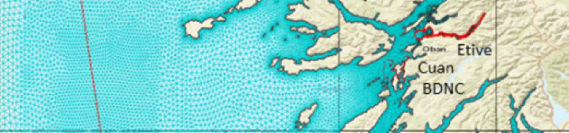
Modelling system produces an estimate of the ocean state once a week and also weekly 5-day forecast. The parameters modelled are ocean temperature and salinity, sea level, and ocean currents. Smaller subdomains with a horizontal resolution of 30 – 500 m are nested within the larger model to give weekly hindcasts (and occasionally 5-day forecasts) of ocean state for the Loch Etive, Loch Ewe and around Isle of Rum.
Models data are freely available via our THREDDS website (and in the near future via ERDDAP ) server. Please contact ocean modelling team at SAMS for access details.
SAMS Research Service Ltd is capable to provide wide range of modelling services to industry, including impacts on the environment via, for example, enhancing the precision of footprint prediction for aquafarms that is precisely in-line with recently updated Regulatory Modelling Guidance (SEPA, 2019). Provision of spatially-varying 3-dimensional flow field to drive new-DEPOMOD simulations can boost license consent applications.
The ocean forecasts are generated on a "best endeavours" basis and should not be used for safety critical applications.
Funding to run the models is currently supported by UKRI and EU via research grants :
Collaborative Oceanography and Monitoring for Protected Areas and Species (COMPASS, Special EU INTERREG VA Programme)
Combining Autonomous observations and Models for Predicting and Understanding Shelf seas, (CAMPUS, NERC)
Evaluating the Environmental Conditions Required for the Development of Offshore Aquaculture (OFF-AQUA, BBSRC NERC )
Predicting Risk and Impact of Harmful Events on the Aquaculture Sector (PRIMROSE, EU INTERREG Atlantic Arc)
Initial models development and testing was performed at UK National Supercomputer ARCHER and currently it operates at SAMS Samhanach HPC cluster which acquisition was financed by NERC via Big Data Equipment grant ‘A versatile platform for Multidisciplinary Marine Computing Applications (MultiMARCAP)
Unstuctured modeling data managment software and tools-boxes are available for different platforms:
Python: https://github.com/pwcazenave/PyFVCOM
Matlab: https://github.com/dmitryale/fvcom-toolbox (original at https://github.com/GeoffCowles/fvcom-toolbox )